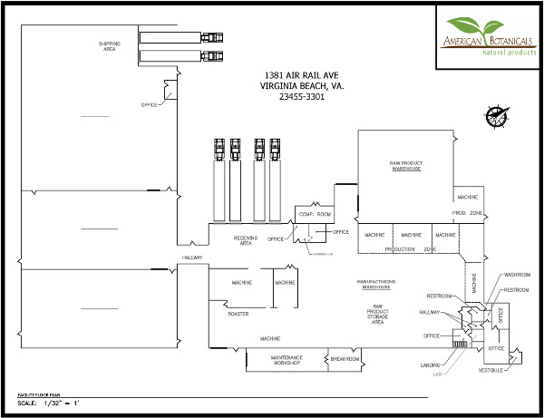
Emergency Action Plan Facility Map
Can any one guide me in the right direction. I'm looking to create a facility map for evac routes and fire exits. I already have a sketch of the factory layout; but im looking for a software our website where I can edit and insert fire lanes, evacuation routes and rally points. Any help would be great
Comments (7)

This might sound dumb, but Microsoft paint actually works pretty well if you’re on windows. I’ve used in the past when I don’t have access to autocad and it actually works pretty well for what you need. Just copy and paste your image into their template, then you can overlay it with shapes and text

Great! Thank you!

I've always used Microsoft word or Adobe pro as well.
PowerPoint also works well to add comment, arrows, etc. to pictures and images. Bluebeam Revu is even better if it's available to you.

I'm sorry cant help due to the fact I have a engineering department with draftsmen.

I simply just use PPT for this. I drop the image over and put in my own labels. This is the best way I found to do it, especially with some companies not wanting to spend money on it.